A good day starts
with a little planning.
Choose a place, understand the high point, and make a plan that fits your experience.
I’m starting the challenge
How the 32-county collection works, and how to take your first step.
I want to understand the list
Shared summits, boundary slopes and the difference between counties and mountains.
I’m looking for lower hills
Explore Westmeath, Meath and Longford, with original local sources.
I’m preparing for a hill day
Weather, access, navigation and the things to check before leaving.
Four ways into the island
Begin with a province.
A few things worth knowing.
All your questions →What is the Irish county high points challenge?
Visit the highest ground in each of Ireland’s 32 traditional counties, including the six counties of Northern Ireland. Choose your own pace; this independent companion does not set a deadline or certify completion.
Start the challenge →Are there 32 mountains or 27 high points?
There are 32 county entries. Five county pairs share a named high-point entry, giving 27 named groupings. Exact boundary ground can be more complicated: Arderin and Galtymore are not perfectly shared, and some counties have a slope or secondary top.
Understand shared high points →Which county has Ireland’s highest mountain?
Kerry. Carrauntoohil is the highest point on the island at 1,039 metres in our stated list convention. Height is a geographic fact, rather than a route grade; plan a mountain day for your experience and the conditions.
Explore Carrauntoohil →What is the lowest county high point in Ireland?
Mullaghmeen in County Westmeath, at 258 metres in our list. The forest setting offers a different outing from the high mountains. A lower elevation does not establish an easy, accessible or unrestricted route.
Explore Mullaghmeen →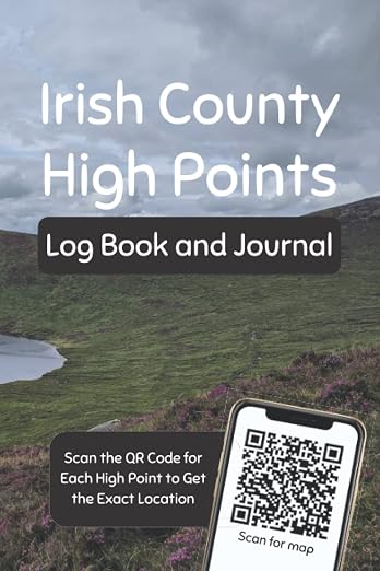
The climbs are yours.
Keep the memories.
A place for the routes, the weather, the people and the moments you want to remember.
A logbook by Niall O’Rourke. Available on Amazon.