Choose the journey, then the next county.
The challenge is to visit the highest point of each of Ireland’s 32 traditional counties. There is no deadline on this companion site. Start with a place that suits your experience, travel plans and the conditions, rather than trying to tackle the highest mountains first. A lower hill can still involve poor paths, difficult navigation or restricted access.
32 counties does not mean 32 separate mountains.
Some counties share a named top. Others are represented by a point on a slope instead of the mountain’s main summit. Our list keeps every county separate, so your progress stays meaningful. Read the boundary notes before setting out, especially for Leitrim, Roscommon and Monaghan. The shared-high-points guide explains the 27 entry grouping and the finer location distinctions.
Make a plan you can change.
Read the county profile, then consult its original sources and a current map. Check the latest weather and local access information. Decide when to turn back and have an alternative if visibility, wind or ground conditions make your original plan unsuitable. If you are new to mountain terrain, a local club, qualified guide or mountain-skills course can help you build confidence.
Remember more than the tick.
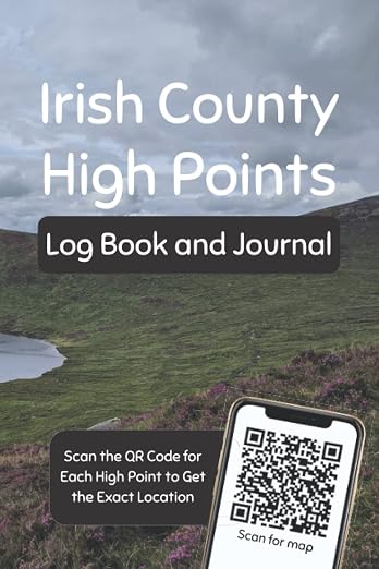
Use the free browser-local checklist to record completed counties. Download a backup from time to time, especially before changing devices. A printed journal gives you somewhere for the weather, companions, route and moments that a checkbox cannot hold. Neither a journal entry nor a completed tick is a substitute for checking the exact location on the ground.
Read the original guidance
Sources checked 15 October 2026. Check current notices before your visit.